
Bristol Previous Residents by Record Era
The trail for previous residents changes with the age of the address. Recorded land images are strongest for ownership. City directories and reverse sections can place a name at a street. Newspapers, church and cemetery indexes, probate files, maps, permits, and census schedules add context. A source can show that a person or entity appeared in a record without proving that the address had no other occupants.
| Source | Years it covers | Where held | What it shows |
|---|---|---|---|
| Recorded land images | March 22, 1787 to present is the current RecordHub statement | Town Clerk and RecordHub | Ownership instruments, liens, maps, and legal descriptions; search and image behavior varies |
| Historical index projects | 1899-1905 creation note; 1905-1974 backfile and scanning notes | Town Clerk history; current access must be confirmed | Digitization history, not a current online cutoff |
| Bristol city directories | 1884-1991, with no promise that every year is present | Bristol Public Library History Room | Name and address, plus a reverse section when that volume includes one |
| Insurance atlases | 1895, 1900, 1905, and 1911 are documented source leads | Library or archive holdings to confirm | Building footprint, use, lot context, and street-number clues |
| Historical assessor material | 1815-1917 local source list; current Vision era | Library History Room and Assessor | Older name and property trail, plus present card fields |
| Newspaper indexes and microfilm | Bristol Press 1871-2006 and 2012-present; Bristol Observer December 2004-present with gaps | Library History Room | Obituaries, transfers, house stories, and civic address changes |
| Federal census | Released years follow the National Archives 72-year rule | National Archives or authorized library access | Household context for the selected census year, not continuous occupancy |
Use a deed when the question is who held title, a directory when the question is who was printed at the address, and a map when the street string no longer fits. For a recent period, pair the parcel, index, and newspaper routes. For an older period, ask the library which volume, map, or index survives before assuming a gap means the address was empty.
Owner, Occupant, or Historical Mention?
Previous residents are not one record category. A grantor or grantee is a party to a recorded instrument. An assessor owner is a public property field. A directory listing is a dated printed entry. A newspaper or obituary may link a person to a place for one event. Use the label that matches the source instead of turning every name into a claim about residence.
| Evidence label | It supports | It does not prove |
|---|---|---|
| Recorded owner | A transfer or instrument tied to a legal description, book, and page | That the owner lived at the parcel throughout the period |
| Directory listing | A name printed at an address for a particular volume year | Current presence, a complete household, or uninterrupted residence |
| Newspaper or obituary | A dated event, family connection, transfer, or address mention | That every person in the household appeared in the article |
| Map or permit record | Physical change, lot context, or a documented work event | Who occupied the building when the change occurred |
This distinction is especially important in Bristol, where a mailing address can differ from a parcel situs and a village label can differ from the legal municipality. Save the source date and field name with each entry. The result is a defensible house-history timeline, not a guessed roster.
Walking the Bristol Deed Chain Backward
Ownership research begins with the current parcel, not with an unverified old name. The assessor and GIS can supply the account, MBL, owner display, situs, and legal-description clues. The Bristol land-record route then points to the Town Clerk and RecordHub for grantor, grantee, instrument, date, book, page, and image details. The current street fields and parcel crosswalk are handled in the Bristol street directory workflow.
- Anchor the parcel. Run the address in the Bristol Vision search and compare the result with the parcel's GIS or map and lot fields.
- Find the latest transfer. Search the current owner as grantee and match the property description, recording date, book, and page.
- Read the instrument. Capture the legal description, map reference, parties, document type, and any image pages that explain the parcel.
- Move to the prior seller. Search that grantor as an earlier grantee. Test initials, middle names, trusts, corporations, and spelling variants.
- Check each link. Compare the next deed with the GIS parcel, assessor sale fields, recorded map, probate transfer, or directory entry before moving farther back.
- Stop with a clear limit. If an index or image is missing, request the office copy or map and mark the gap instead of filling it with an assumption.
- Grantor and grantee
- The grantor transfers an interest or right; the grantee receives it. In a deed chain, the seller is often the next name to search backward.
- Chain of title
- The linked sequence of recorded transfers that connects one ownership instrument to an earlier one.
- Legal description
- The parcel wording used in an instrument, such as a map, lot, or boundary description. It can remain useful when a street number changes.
- Book and page
- The citation that lets a reader or clerk locate the recorded instrument or request a copy.
- Criss-cross directory
- A reverse directory section arranged by street and number, when a Bristol volume includes one.
- Enumeration district
- The geographic area assigned to a census taker for a particular census year. It helps locate the right household page.
A Bristol deed chain is strongest when every step carries the same parcel clue forward. If the names change form or the legal description breaks, pause at that point and ask the Town Clerk for the missing instrument or map.
RecordHub's Bristol Deed Horizon
Bristol's current land-record information reports that the Town Clerk moved to Cott RecordHub on May 4, 2026. Subscriber image coverage is stated to begin at Volume 1 on March 22, 1787. Older municipal budget notes describe an index created for 1899-1905 and a backfile and scanning effort for 1905-1974, but those notes describe conversion work rather than a current access cutoff. The safest description is the current public statement plus a warning that index and image access vary.
The Cott RecordHub land-record gateway is the live image route shown for the Bristol transition.
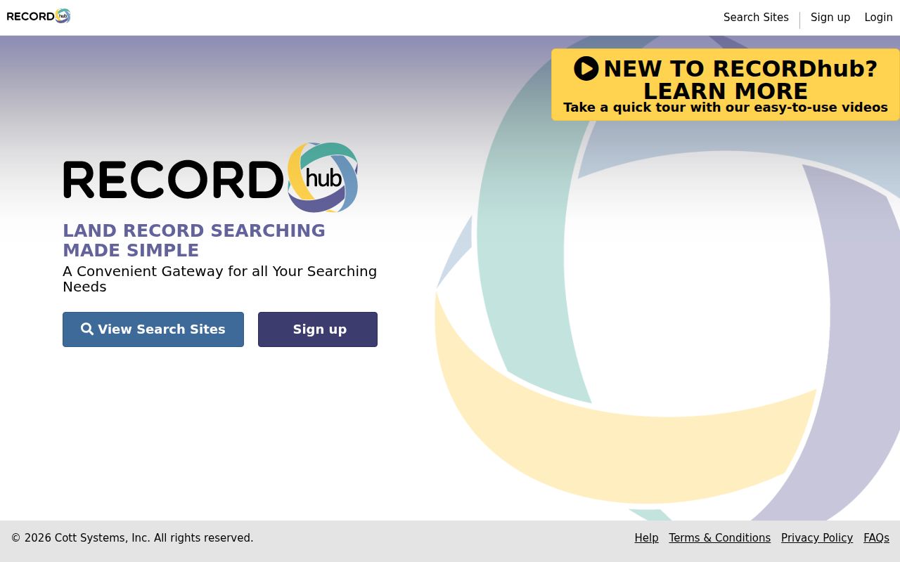
The image route is useful for reading an instrument, but a search hit still needs a parcel and legal-description check. Save the result citation before opening the next name in the chain.
The Bristol RecordHub tutorial describes All, Name, Property, and Book/Page modes, date ranges, Expanded Search, result filters, scanned pages, and an image viewer. Subscriber viewing and online checkout can depend on the account or plan. Non-subscriber copies are available from the Town Clerk in person or by mail at $1 per page, and a map not available online can be requested for $2. A copy request should identify the property, parties, date range, book and page if known, and whether a plain or certified route is needed.
Reading Bristol Directories Beside Census Years
The Bristol Public Library reports city directories from 1884 through 1991, with Bristol, Terryville, and Plainville sections. A volume may have an alphabetical name section and a street or number cross-reference, but the reverse section must be confirmed in the specific year. The library's History Room collection also connects directories with newspapers, maps, church and cemetery records, and house materials. The broader collections and how to read an entry are covered in the Bristol city directory reference.
The official State Library district sample is a useful model for field recognition, not proof of a complete Bristol city-directory scan. Its OCR-visible page preserves surname, given name or initial, Bristol or Forestville locality, street when present, and telephone number. Treat a district or telephone-style entry as a dated clue and confirm the actual Bristol volume, title page, and page number in the library collection.
Pair a directory year with the nearest released census year through a short, repeatable sequence:
- Write down the address, directory year, exact street spelling, and page or section before searching a second source.
- Check the alphabetical section, then look for the street and number cross-reference when the volume has one.
- Select a released census year near the directory year and identify the relevant enumeration district, the geographic area assigned to the census taker.
- Compare names, household structure, locality, and street wording. Mark a difference as a lead rather than choosing one source as automatically correct.
- Use a newspaper, probate, church, cemetery, or map record to test the link and record a confidence level.
This pairing helps separate a person printed at an address from the broader household context. It also exposes a street-number change that would be easy to miss in a name-only search.
Bristol Maps That Explain Old Addresses
Maps can bridge the gap between a past street string and a current parcel. The History Room lists Sanborn Insurance maps, topographic maps, and the 1802 Survey of Bristol Turnpikes. A Library of Congress historic-resources document points to a Bristol Directory for 1890-1950 and a Bristol Insurance Atlas for 1895, with later source years of 1900, 1905, and 1911. Those are strong research leads, not a promise that every sheet or directory volume is online.
The Library of Congress Bristol historic-resources document helps identify period sources. Compare an old deed description with a recorded map, assessor tracing or note, a directory street section, a Sanborn sheet, a topographic sheet, and a current parcel capture. This map ladder can expose a renamed route, an abandoned right-of-way, a combined parcel, or a village label that no longer appears in the same form.
No complete public table of Bristol street renumbering was located. When a number fails, preserve the old wording and ask the library or Town Clerk for the matching map or directory rather than assigning a modern number by guess.
The Bristol History Room House-History Trail
A house-history request can combine a deed citation with material that a land index does not hold. The local house-history route points to the Historic Resource Inventory, National Register buildings and districts, indexed Bristol Press articles about old houses, and a clipping file. It is a useful way to connect a name, address, building change, and dated local event without treating a single source as a full list of residents.
The Bristol Public Library houses and buildings guide shows the local starting point for this kind of research.
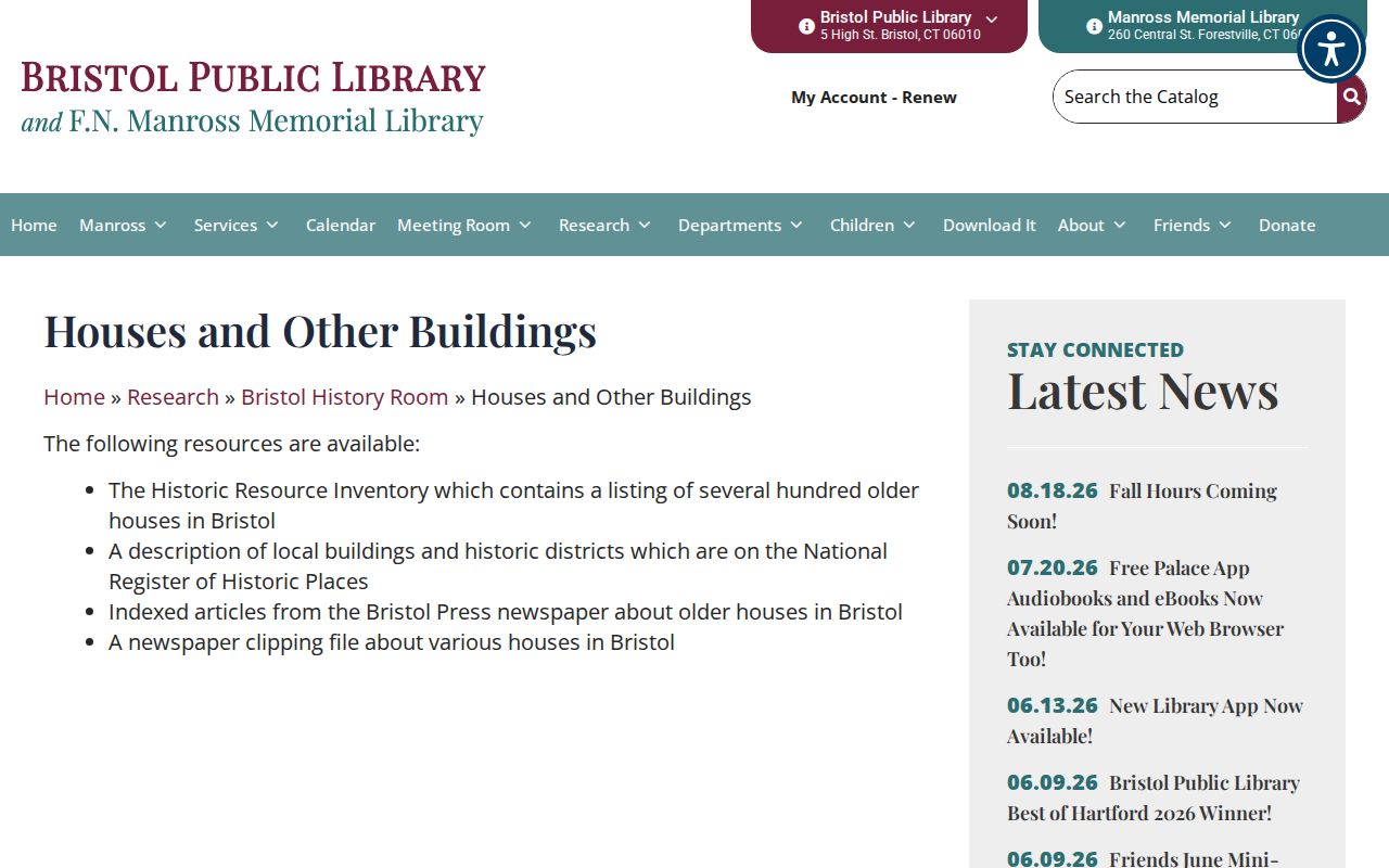
The guide complements the History Room's directories, newspaper microfilm, maps, photographs, postcards, diaries, and oral histories. Ask for the year, street section, house file, map sheet, and exact citation. A missing clipping or unavailable scan should be reported as a source gap, not converted into a claim about who lived there.
The library's own history is part of Bristol's records story. It opened in 1892, moved into the Charles Treadway house in 1896, and dedicated a larger Colonial Revival building in 1907. Those dates explain why local research can move between a modern library catalog, older newspapers, and physical neighborhood collections.
Willis Street in a Bristol Parcel
The parcel sample at 120 Memorial Boulevard is a useful Bristol story because it carries several address roles at once. The parcel data identify account 0243060 and MBL 30-114, while the Vision card shows a City of Bristol owner, a 1921 school-use field, a City Hall mailing address, and a two-card assessment layout. A GIS comment notes a combined abandoned portion of Willis Street and cites map RD1903.
That comment does not name previous residents, and it does not by itself establish the year of a street change. It does show how a current parcel can preserve a clue to a former route. Pair the comment with a recorded map, directory street section, Sanborn or topographic sheet, and newspaper index. The Bristol GIS property viewer is the current parcel starting point, while the Town Clerk supplies the legal-record route.
For a house-history table, list the year, person or entity, source type, exact citation, relation to the address, and confidence. A civic parcel can illustrate the method without exposing a private person's current details.
Bristol Names, Newspapers, and Probate
The Bristol Public Library genealogy sources list church and cemetery material, Bristol probate records from 1785-1830, assessor records from 1815-1917, and Bristol Press birth, marriage, and death indexes with gaps. Baptist records run 1801-1927, Congregational records 1742-1897, and Trinity records 1834-1949. These are historical finding aids, not current certified certificates.
Newspaper microfilm can help close an address trail through an obituary, transfer, house story, or civic change. Yearbooks can reconnect a dated name to a school community, but the library's yearbook holdings have specific school runs and gaps. Use the year and class, protect current student details, and keep a citation for every entry.
For an estate or heir question, Bristol-Plymouth Probate District records and the Town Clerk land trail may answer different parts of the same problem. For older state, military, institutional, or administrative records, the Connecticut State Archives provides finding aids and an onsite route, although some off-site collections may not be available during compact-shelving work.
Privacy at a Bristol Address
Previous residents research should stay focused on older records, family history, estate work, property history, and a lawful personal question. A name absent from a voter result or directory is not proof that the person never lived in Bristol. An address may be protected or substituted under a confidentiality program, and a current person should not be turned into a published profile from scattered record fields.
The Connecticut Address Confidentiality Program can provide a substitute mailing address and legal-agent service for eligible people who relocated for safety. A separate voter privacy route can limit public disclosure when a voter establishes a safety risk. Respect those outcomes, and ask the relevant custodian about the official process rather than trying to reconstruct a protected address.
Lawful house history. Bristol deed, directory, map, and newspaper records may support genealogy, heir research, and study of an older property. Do not use a result to stalk, harass, track, intimidate, or harm a living person, and do not publish an unverified current address.